In This Article
- The Ice Core Drill That Found Bare Ground
- What the Sediment Grains Actually Record
- Why Did Prudhoe Dome Completely Disappear?
- The Sea-Level Question Nobody Can Ignore
- What Comes Next — And What Remains Unknown
Somewhere beneath 509 metres of Greenland ice, researchers pulled up a fistful of sand and gravel — and those grains told them something unsettling. The last time sunlight touched that ground was 7,100 years ago. Not ancient geological history. Not millions of years. Seven thousand years. In human terms, that is roughly when the first cities were being built in Mesopotamia. The entire Prudhoe Dome ice mass — a dome roughly the size of Delhi — had completely melted away, and the world kept turning.
The Ice Core Drill That Found Bare Ground
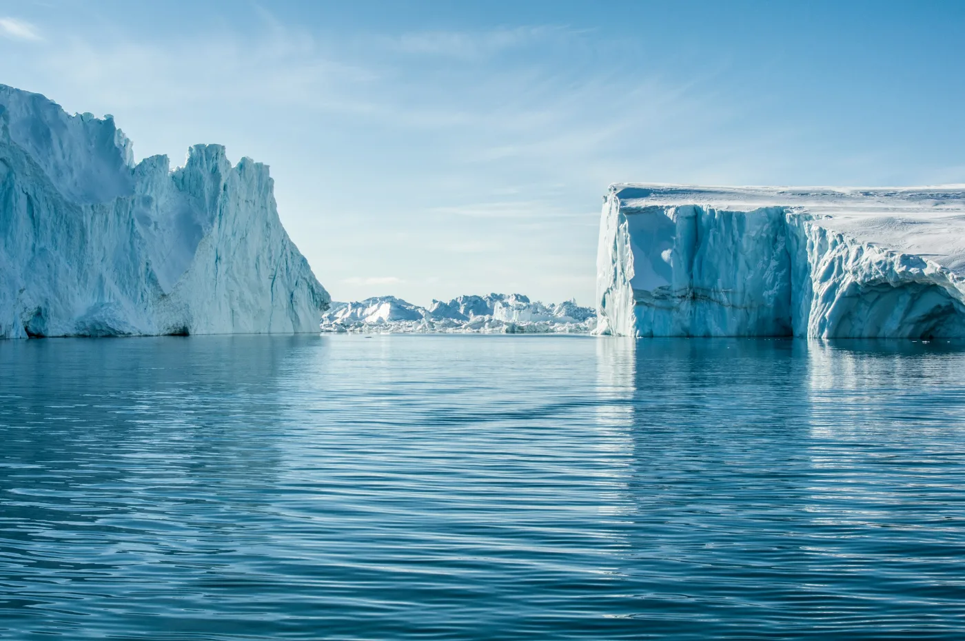
Prudhoe Dome sits in northwestern Greenland, an ice dome about 2,500 square kilometres in area, attached to the main Greenland Ice Sheet by a narrow saddle of ice. It is remote, cold, and to most people, utterly obscure. To glaciologists, though, it is exactly the kind of place that holds answers — because it sits in the interior, away from the coasts, and its history is locked inside the ice rather than washed away by the sea.
The research team, led by Caleb Walcott-George of the University of Kentucky and Jason Briner of the University at Buffalo, used a specialised drill called the ASIG — Agile Sub-Ice Geological — operated by the NSF Ice Drilling Program. They pushed it down through 509.4 metres of firn and ice until it hit the bed. What came back up was a 7.5-metre sediment core sitting on top of gneissic bedrock. And in the top few centimetres of that sediment, the clock had been reset by sunlight.
What the Sediment Grains Actually Record
Here is the interesting part. The team didn't just date one grain — they measured nearly a thousand individual K-feldspar grains from the upper 7.5 centimetres of sediment. The distribution they found tells a specific story. Most grains had a high accumulated signal, meaning they had been buried for a long time. But a distinct population of grains had almost no signal at all. Almost zero.
That pattern is the fingerprint of cryoturbation — the Arctic process where freezing and thawing continuously churns the upper soil layer. During the period when Prudhoe Dome was ice-free, the exposed ground would have had an active permafrost layer. That layer was constantly mixing: grains from the surface (bleached by sun) got pushed deeper, while older grains were dragged up toward the light. When the ice grew back, mixing stopped. The bleached grains — the ones that had seen sunlight — recorded the burial date. That date came out at 7.1 ± 1.1 thousand years ago.
The oxygen isotope measurements from the ice column above confirmed it. There is no trace of Pleistocene-era ice — the ancient, isotopically distinct signature you would expect to find at the base of an ice mass that had survived continuously since the last glacial maximum. None. The ice is entirely Holocene. The dome melted completely after the Younger Dryas and only regrew during the mid-Holocene.
Why Did Prudhoe Dome Completely Disappear?
Summer temperatures. That is the short answer — and the data backs it up with some striking numbers. Chironomid assemblages (fossilised midge larvae from nearby lake sediments) suggest July temperatures in northwestern Greenland were between 3 and 7°C warmer than modern between roughly 10,000 and 7,000 years ago. The Agassiz Ice Cap on nearby Ellesmere Island recorded about 3°C of summer warming above modern between 11,000 and 9,000 years ago. That warming, driven by higher summer insolation from Earth's orbital configuration at the time, was enough to tip Prudhoe Dome past the point of no return.
"Summer temperatures reached their maximum in northwestern Greenland between ~10 and ~7 ka, as recorded by chironomid assemblages in lake sediment cores indicating July temperatures ~3 to 7°C warmer than modern."
— Walcott-George et al. · University of Kentucky / University at Buffalo · Nature Geoscience, 2026What makes this notable is that Prudhoe Dome is almost entirely land-terminating — meaning it wasn't losing ice through calving into the ocean. No warm Atlantic water was eating it from below. It melted purely through surface energy balance: too much summer sun, not enough snow. That is exactly the same mechanism driving Greenland's current mass loss, which means the Holocene analogue is a fairly clean one.
The dome likely regrew sometime around 7,000 years ago as summer insolation began to decline, though the exact reglaciation date remains uncertain. Small, self-amplifying elevation feedbacks — once the snowline descended to intersect the dome's topography, snow could accumulate, raising the surface, cooling it further — probably helped it rebuild quickly once conditions shifted even slightly.
The Sea-Level Question Nobody Can Ignore
This is where the story connects to something much larger. The Greenland Ice Sheet today holds enough ice to raise global sea levels by about seven metres if it melted entirely. Obviously, nobody is predicting that for the near term. But every piece of evidence showing how sensitive the ice sheet's interior is to temperature becomes part of the picture scientists use to project future sea-level contributions.
The summer warming during Prudhoe Dome's Holocene disappearance — roughly 3 to 5°C above modern values — sits within the range of what CMIP climate models project for 2100 CE under high-emission scenarios. CMIP5 models project summer warming at Prudhoe Dome of between 1.8 and 4.7°C by 2100. CMIP6 models go higher: 2.4 to 5.7°C. Given that the Arctic has already been warming at roughly four times the global average rate since 1979, and that CMIP models are known to underestimate Arctic amplification, the upper end of those ranges deserves serious attention.
What Comes Next — And What Remains Unknown
The researchers are careful about what they are and aren't claiming. They know the dome disappeared. They know it happened around 7,100 years ago. What they don't know is exactly how long the complete melt took — whether it was a century or a millennium. That question matters enormously for translating the Holocene analogue into a practical timeline for this century's ice loss. A dome that takes 3,000 years to melt under sustained warmth is a very different risk profile than one that goes in 500 years.
There is also the question of spatial extent. This is one drill site. Prudhoe Dome is one piece of the northwestern Greenland Ice Sheet. The team explicitly calls for more drilling — across the margins and interior of the GrIS — to map which parts retreated during the Holocene, when, and how far. That map doesn't exist yet. Until it does, the full picture of how sensitive the ice sheet's interior was during its warmest Holocene period remains incomplete.
- Direct evidence, not modelling: These are physical sediment grains that actually saw sunlight — not a model output or a proxy inference, which makes the 7,100-year date unusually robust.
- The temperature match is real: The warming that erased Prudhoe Dome falls squarely within the range climate models project for the end of this century, making this a genuine historical analogue rather than a distant worst-case.
- Duration is the open question: How fast the dome melted — and how fast it could melt again under sustained warmth — is precisely what future drilling campaigns aim to pin down.
"Luminescence analysis of sub-ice materials constrain the timing of minimum ice extent within the current GrIS footprint... pointing to a highly sensitive northern GrIS. This motivates future drilling efforts across the GrIS and peripheral ice caps." — Walcott-George et al., Nature Geoscience, 2026.
📄 Source & Citation
Primary Source: Walcott-George CK, Brown ND, Briner JP, Balter-Kennedy A, Young NE, et al. (2026). Deglaciation of the Prudhoe Dome in northwestern Greenland in response to Holocene warming. Nature Geoscience. https://doi.org/10.1038/s41561-025-01889-9
Authors & Affiliations: Caleb K. Walcott-George (University of Kentucky / University at Buffalo), Nathan D. Brown (University of Texas at Arlington), Jason P. Briner (University at Buffalo), with collaborators at Columbia University's Lamont-Doherty Earth Observatory, Pennsylvania State University, NASA Goddard Space Flight Center, and the Niels Bohr Institute, Copenhagen.
Data & Code: Luminescence data: Zenodo 17047558 · Oxygen isotope data: PANGAEA 984743 · Ice depth–age models: Zenodo 17048033
Key Themes: Greenland Ice Sheet · Holocene Thermal Maximum · Sea Level Rise · IRSL Dating · Arctic Amplification
Supporting References:
[1] Briner JP et al. (2020). Rate of mass loss from the Greenland Ice Sheet will exceed Holocene values this century. Nature, 586:70–74. — Establishes the broader context for Holocene ice loss rates relative to projections.
[2] Axford Y et al. (2019). Holocene temperature history of northwest Greenland — with new ice cap constraints and chironomid assemblages from Deltasø. Quat. Sci. Rev., 215:160–172. — Regional temperature reconstruction from lake sediments used to contextualise the Prudhoe Dome melting window.
[3] Rantanen M et al. (2022). The Arctic has warmed nearly four times faster than the globe since 1979. Commun. Earth Environ., 3:168. — Quantifies the Arctic amplification rate cited in the sea-level implications discussion.
No comments yet. Be the first to share your thoughts.
Leave a Comment